
San Bernardino Street Directory Trail
A useful address search moves from the physical parcel toward records that use a person or party name. Start with the situs address, meaning the place where the land sits, rather than the owner's mailing label. The Assessor can connect the situs to an APN and assessment name. The Recorder then works from grantor and grantee names, not from a street address. A qualified voter file may support a narrow, approved-purpose check, while a historical reverse directory may identify a listed subscriber or householder. These routes show different facts. An owner is not automatically an occupant, and a listed occupant is not proof of current residence.
- Locate the situs address. Enter the physical street number and street name in San Bernardino County ARC Parcel Access. Select the parcel that fits the map, unit, corner, and frontage rather than accepting the first text match.
- Capture the APN. Record the Assessor Parcel Number from the parcel result. Keep the full key with the street address, because the APN is the bridge to the map, assessment record, tax work, and later property research.
- Preserve the legal description. Note the tract, subdivision, lot, block, or land description attached to the parcel or deed. The legal description can keep the chain together when a street label, direction, or postal line does not match an older source.
- Move to the Recorder party index. Search the current assessment owner as a grantee or other indexed party, then match the legal description, document date, title, and document number. The Recorder's address-versus-party split is central: an address alone is not its ownership search key.
- Choose the lawful household route. A qualified-purpose voter-file request may provide approved registration fields, with protected records suppressed. For historical work, use a reverse or criss-cross directory to find a listed address occupant. Neither route is a full household roster.
The chain is strongest when each step leaves a note about what it proves. Parcel Access supports an assessment connection. A recorded instrument supports an indexed party and document trail. A directory or authorized voter source can add a time-bound household clue. Mixing those labels into one claim is how a street search overstates what the records say.
San Bernardino Parcel Access Fields
San Bernardino County ARC directs address questions to Assessor Property Information, not to the Recorder. The public Parcel Access application offers three main routes: situs or physical address, APN, and owner name. The ARC Parcel Access user guide documents the map and search behavior. It is an interactive parcel search and map, not a resident directory. ARC describes assessment data as an aid to locating and describing property, not a legal-title or permitted-use determination. The parcel card can still anchor a street search by putting a stable parcel number beside a physical location.
The ARC Parcel Access portal is the public starting point represented in the first San Bernardino address-record capture.
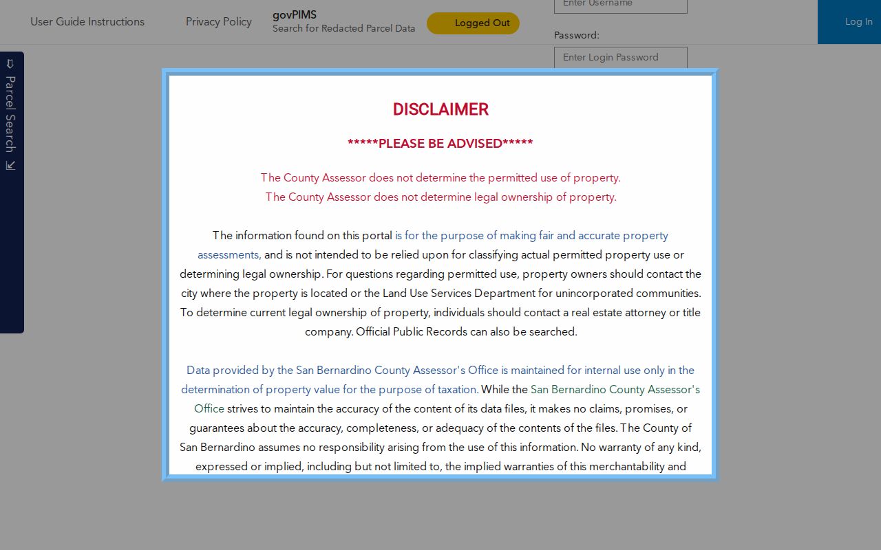
The map result helps compare the selected parcel with its frontage and nearby geometry before the APN is carried into another record system.
| Field or control | Type | Required | Format or behavior |
|---|---|---|---|
| Situs / Address Search | Mode and text | Yes in address mode | Physical parcel location; exact component labels and partial-match rules were not captured. |
| Parcel Number | Mode and text | Yes in APN mode | Use the complete APN shown by ARC rather than a shortened map reference. |
| Owner Name | Mode and text | Yes in owner mode | Assessment owner inquiry; it is not a complete occupant search. |
| Search or Enter | Button or action | Yes | Executes the search, pans or zooms the map, and fills the Search Information area. |
| Interactive map | Map control | No | Pan, zoom, select, and compare neighboring parcel geometry. |
Normalize directionals, suffixes, unit information, and the city name before trying another result. A corner lot, condominium, flag lot, vacant parcel, or multi-unit property needs a geometry and legal-description check. The map may show more land detail than a street list, but the assessment owner name still does not establish who sleeps at the situs.
San Bernardino GIS Street Browse
After the parcel is selected, use the county map to read the street as a sequence of parcel shapes. Pan along the frontage, zoom around intersections, and click adjacent polygons. The county ArcGIS services catalog separates Assessor, GIMS, Land Use Services, Registrar of Voters, Surveyor, and aerial layers, including 1995 and 2010-2024 imagery. Those layers add time and jurisdiction context. They do not replace a recorded document or turn a map into an occupant list.
The ARC property-research guidance shows the bridge from a parcel result to owner and legal-description work in the second San Bernardino property-record capture.
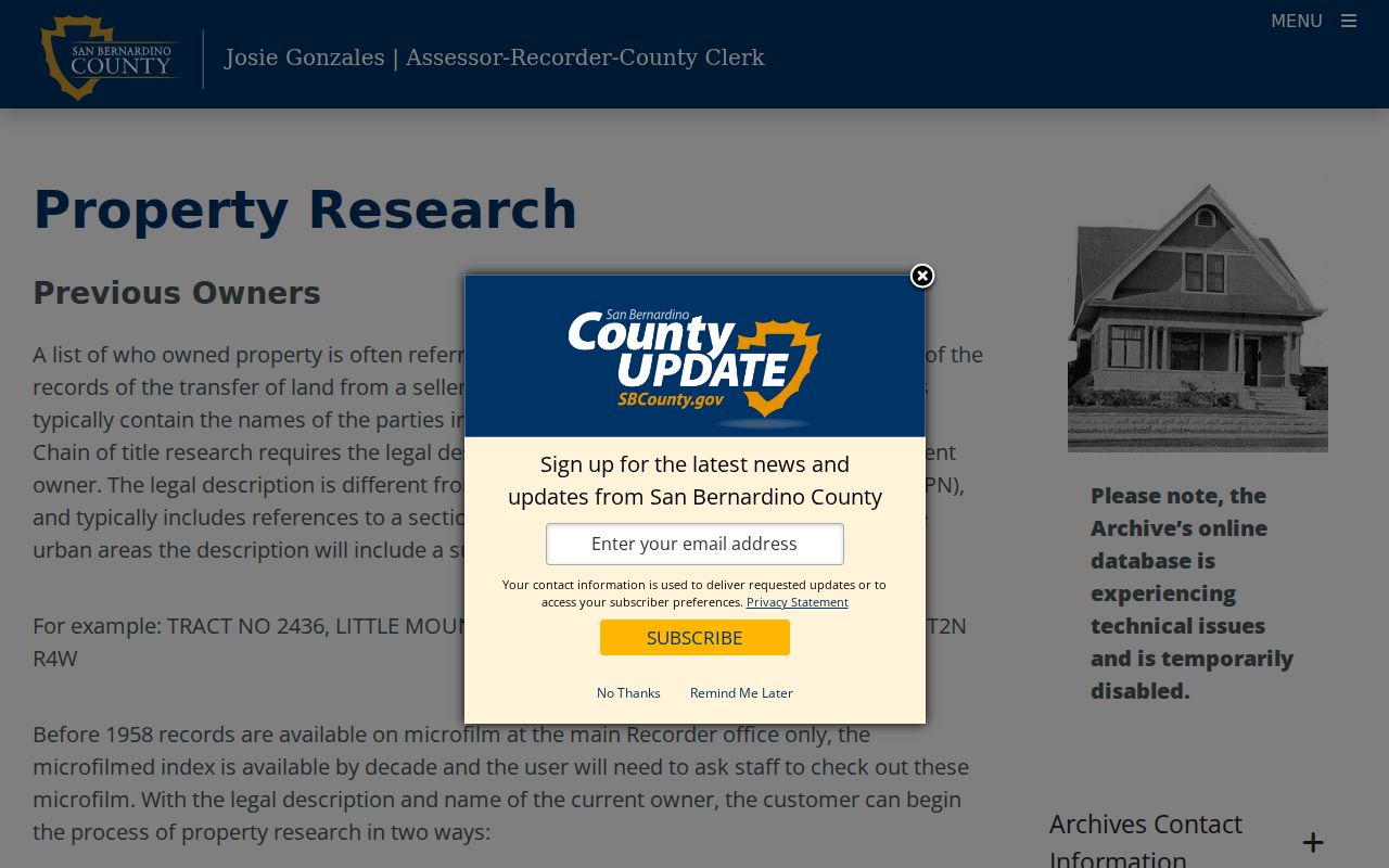
This view is useful for checking whether a name search is attached to the right parcel before the deed or address trail is extended.
For a reproducible block pass, hold one intersection as the starting point and record APNs clockwise. Note shared boundaries, rear or flag parcels, and parcels that face another street. Do not infer a neighbor from a label alone. A parcel map, a situs address, and a mailing address may point to different parts of the same property story.
Note: The county guide confirms map browsing, but current layer names and buffer controls were not verified from a stable public capture.
San Bernardino Street Parcel Chain
The APN is the practical handoff from an address to the land record. From there, preserve the legal description and any tract, subdivision, lot, or block reference. Rural descriptions may use section, township, and range. When a document and a present address look different, the legal description and parcel map provide a better comparison than a postal line. ARC's parcel-map viewer uses a book-and-parcel route commonly written as BBBBPP; use the complete displayed reference rather than guessing at the pieces.
The ARC assessor map-book viewer is the source linked in the third San Bernardino street directory capture.
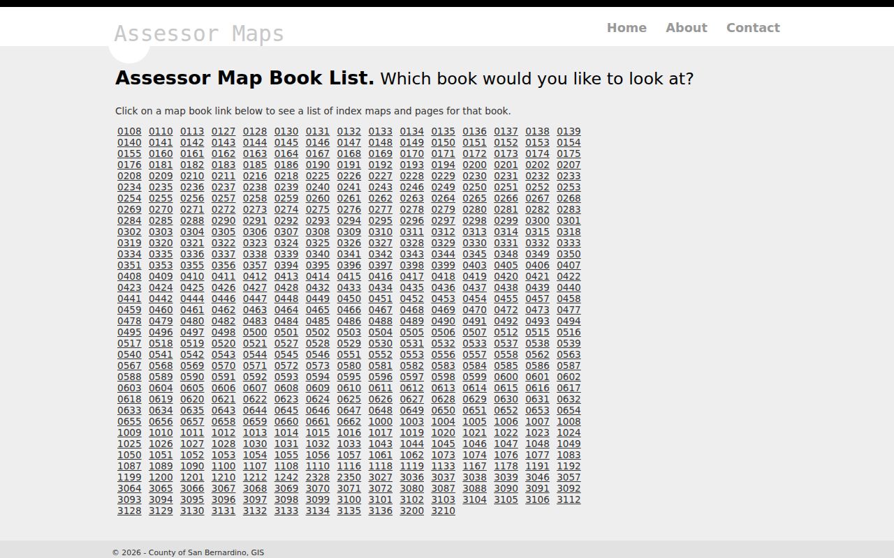
A map book can support legal adjacency and lot continuity. It does not identify every person at a property, and a drawn boundary is not a substitute for title evidence.
- Parcel
- A land unit tracked by the assessment system and identified by an APN; one parcel may contain more than one structure.
- Situs address
- The physical location used to find the parcel. It is not the same as the owner's mailing destination.
- Plat
- A subdivision or parcel map that shows how lots, blocks, tracts, and related boundaries fit together.
- Criss-cross directory
- A street-order reference that lists a subscriber or householder at an address for a particular publication period; it is not a complete occupant roll.
San Bernardino Records by Street
The San Bernardino street directory is best treated as a chain of address records, not one all-purpose database. The county assessment parcel is the anchor. GIS shows shape and context. The Recorder's party index follows documents by name. City or county permit records add project evidence when jurisdiction is correct. A qualified voter file and a historical reverse directory are narrower household clues with their own access rules.
| Address record | Keeper | What it shows | Access and limit |
|---|---|---|---|
| Assessment parcel | San Bernardino County ARC Assessor | APN, situs, mapped parcel, assessment owner fields | Free Parcel Access; not every resident or a final title opinion |
| GIS parcel map | County public assessor map and ArcGIS services | Parcel geometry, adjoining polygons, boundary and time context | Free viewer and layers; context rather than controlling title |
| Recorded documents | ARC Recorder | Grantors, grantees, document title, date, and number | Online party index; images at a counter or through a copy order |
| Parcel map books | ARC Assessor map viewer | Book and parcel continuity, lot or tract adjacency | Map-book search; map purchases are handled at the Hall of Records |
| Permits and code cases | City or county custodian by parcel jurisdiction | Applicants, owners, contractors, scope, inspections, notices, and dates | Portal when available or focused public-record request; coverage varies |
| Qualified voter file | San Bernardino County Registrar of Voters | Specified registration fields for an approved purpose and geography | Signed application and permitted use; protected voters and fields are suppressed |
| Reverse directory | San Bernardino Public Library California Room | Historical listed subscriber or householder at a street address | In-person or library research route; omissions and run gaps remain |
The parcel number ties assessment and map work to the deed chain. The street name helps locate the parcel and older directory entry, but it does not replace the Recorder's party key. The voter route is not a casual street browse. The library route is a historical snapshot. A useful result says which record supplied each fact and when that fact applied.
San Bernardino Deed Chain by Street
The ARC Official Public Records Index separates address research from document-party research. Its published index fields are document number, document date, document title, grantors, and grantees. The general Recorder page advertises an online index from 1925 to the present. A separate ARC property-research guide describes name-chain work from 1958 forward and pre-1958 microfilm, so those statements should be treated as different published access descriptions until Recorder-Clerk staff confirms the span for a particular request.
Use the current assessment owner as a starting grantee when the legal description matches. Then identify the earlier grantor, record the document number and date, and search that seller as the prior grantee. Repeat only after the tract, lot, or land description fits. Same-name parties make an address, APN, and legal description more valuable than a name alone. The index is a party trail, not a street roster.
Online users see index information rather than document images. Contents can be inspected at the Hall of Records or High Desert Government Center in Hesperia. Copies can be ordered online, by mail, or at the counter. Noncertified online orders are emailed, certified copies are shipped, and card orders carry the county's stated surcharge. Mail requests use the county form and are described as returning in about one to two weeks. Maps are purchased at the San Bernardino Hall of Records.
Index versus image. An index result identifies a recorded item and its parties. The instrument copy is the place to confirm the legal description, terms, and other text before drawing a conclusion.
Note: The public recorder page and property guide publish different historical spans, so confirm the applicable index route with Recorder-Clerk staff.
San Bernardino Permit and Code Records
Municipal records can add a dated address connection that the assessment roll cannot. San Bernardino Development Services and Building & Safety materials may link an address to an owner, applicant, contractor, architect, project scope, valuation, issue or final date, and inspection milestones. A permit shows a project relationship or control point. It does not establish a complete household or prove that the named applicant lived at the site.
Start with the City's Development Services entry point for an incorporated parcel. If the parcel is outside city limits, County Land Use Services may hold the relevant land-use or permit record. The research did not verify the live portal's full field labels or earliest online coverage date, so an address, APN, permit number, record type, and date range should be treated as likely search routes rather than promised controls.
Code cases can identify a responsible owner or contact, complaint type, inspection dates, notices, compliance activity, and liens. Complaint identities and personal contact details may be withheld. A focused request for a final notice, public case log, inspection record, or order is more precise than asking an office to identify who lived at an address. The City Clerk's public-records route includes online search, portal, counter, and CPRA request paths for existing city records. The city normally makes a disclosure determination within 10 calendar days, with a possible written 14-day extension for unusual circumstances; that is not a promise that all records will be produced in 10 days.
County permits began about 1936, while some cities may have earlier records. Check the historic jurisdiction before using a permit gap as evidence that no work occurred. ARC and the Recorder do not hold the City's permit series.
San Bernardino Mailing Address Split
The situs is where the parcel sits. The mailing address is where assessment notices or tax bills go. ARC says the mailing destination is taken from a recorded transfer or Preliminary Change in Ownership Report and remains until an owner submits a signed change. A different mailing address can suggest a move, an absentee owner, a business, or a PO box, but it does not prove any one of those explanations.
San Bernardino is a city, a county seat, a valley reference, and a postal designation. A mailing line that says San Bernardino does not decide whether the parcel is inside the incorporated city. Nearby unincorporated communities, including Muscoy, can share the postal association while their land-use records follow the County. Countywide assessment, recorder, elections, and Superior Court systems cover the county, but municipal permits and code records depend on the parcel's jurisdiction.
Check the parcel in the county map, then compare the boundary or land-use layer before choosing a permit office. The San Bernardino County communities and boundaries material is a better jurisdiction check than the last line of a mailing address. This step also prevents a street directory search from quietly combining city records with records from nearby county territory.
Note: No official source located a dated citywide street renumbering or renamed-street list for San Bernardino.
San Bernardino Reverse Directory
Historical street work belongs with the California Room at San Bernardino Public Library. Its collection description lists San Bernardino city directories from 1887-1968, criss-cross directories from 1976 to the present, and telephone books from 1918 to the present, along with maps, newspapers, photographs, yearbooks, and genealogy material. The criss-cross portion reads addresses in street order. It can identify a listed subscriber or householder, but it cannot enumerate every person in a dwelling.
The California Room is at Feldheym Central Library, 555 W. 6th Street, San Bernardino. Posted room hours are Monday and Tuesday 2:00-4:00 p.m., Wednesday 10:00 a.m.-3:00 p.m., Thursday 2:00-4:00 p.m., and Saturday 2:00-4:00 p.m.; call 909-998-4251 before travel. Mail research is listed at $20 per hour or part of an hour plus $0.25 per page, with a self-addressed stamped envelope requested. Verify shelf details with the reference desk because the research found no official online shelf list for every publisher and year.
The California Room collection page is the best starting point for a historical street directory search. The broader San Bernardino Directory Book explains the historical volumes and their reading method; the address trail here should use those volumes as dated clues, then compare them with deeds, maps, census schedules, or newspapers.
A missing name may mean that the publisher omitted the person, used an abbreviation, canvassed at a different time, or covered a narrower area. It does not by itself prove a move, death, or vacancy.
Note: A reverse directory can identify a listed subscriber or householder, but it cannot enumerate everyone at an address.
San Bernardino Address History Checks
Street evidence changes with the record era. San Bernardino County was formed from Los Angeles County on April 26, 1853, and the city was incorporated in 1854, disincorporated in 1863, and reincorporated in 1869. Those municipal breaks can interrupt a City Clerk series. They do not authorize a guess about what happened to a street number. Earlier property or family evidence may sit in county, Los Angeles County predecessor, mission, land-claim, library, or state and federal collections.
Sanborn fire-insurance maps can help compare old street labels, building footprints, uses, and construction context. They do not name occupants. The Library of Congress Sanborn collection is therefore a map aid to pair with a directory, deed, or permit, not a substitute for one. Preserve the map year, printed street label, present APN, and legal description when an old address does not line up.
If a historic address fails in a current portal, compare California Room maps, city directories, criss-cross volumes, and parcel geometry year by year. The research did not locate an authoritative dated list of renamed or renumbered San Bernardino streets. The conservative conclusion is a record gap until a period map, directory, deed, or city record resolves it.
Documenting a San Bernardino Street Search
A careful street directory record separates a sourced fact from an inference. Write down the address exactly as searched, the date, the APN, the legal description, and the source route. When a name appears, label the role: assessment owner, grantor, grantee, permit applicant, listed householder, or authorized registration record. That role is more useful than a bare name because each record has a different reason for containing it.
- Keep the full situs address and mailing address in separate fields.
- Record the APN, tract or lot language, and map-book reference without shortening them.
- Note the document title, number, date, and party role for each Recorder result.
- Mark whether a clue is current, historical, qualified-purpose, or limited by a redaction.
- Write the missing link plainly instead of filling it with a street-renumbering or occupancy assumption.
San Bernardino's multilingual population also makes exact-name searching fragile. When a party name is needed, test spacing, hyphenation, compound-surname parts, initials, and reasonable spelling variants, then return to the APN, legal description, address, and role. A name match without that address chain is not enough to join two records.
San Bernardino Street Directory Limits
A San Bernardino street directory cannot show every occupant, child, roommate, guest, or visitor. Assessment data point to an assessment owner and mailing destination. A deed index identifies recorded parties. A criss-cross volume identifies a listed subscriber or householder for its publication period. None supplies utility customers, delivery records, DMV residence data, or ballot choices. A current absence from one source is not proof that a person never lived at the address.
Voter information is especially restricted. San Bernardino County's self-service election gateway is for an individual's own registration information, not an open name-and-address directory. A county voter file requires a permitted election, scholarly, journalistic, political, or governmental purpose under Elections Code section 2194, with an application mailed or delivered in person and controlled disclosure. Home addresses, identifiers, signatures, and protected registration information are not ordinary public fields. Safe at Home participants may use substitute addresses that deliberately interrupt an address trail; the California Safe at Home program explains that confidentiality route.
Lawful personal use. San Bernardino address and street records may support personal, lawful research such as family history, property history, or civic record review. Do not use them to stalk, harass, intimidate, or harm any person, and do not treat a public record as permission to expose protected information.
The responsible endpoint is a verifiable record, not a guessed household. Confirm a result with the custodian when the distinction matters, respect redactions and protected addresses, and stop when the record does not support a stronger claim.