
San Bernardino Neighbors by Block
A block lookup answers different questions depending on the source. Parcel Access shows the shapes that touch a subject parcel. The assessment card may show an assessment owner and mailing destination. The recorder index shows a named party to a recorded document. The voter file is purpose-gated. A city permit or code record may show a project participant. A historical directory can show a past listed householder. No row should be labeled "neighbor" until the source and date are clear.
The coverage below is a practical starting map for a San Bernardino neighbors search. It keeps the block layer separate from a whole-street chain and from a one-person lookup.
| Source | What it shows about a block | Access |
|---|---|---|
| ARC Parcel Access | APNs, situs addresses, parcel geometry, assessment fields | Free public map |
| County GIS services | Assessor, survey, land-use, election, and aerial context | Public service catalog |
| Parcel map books | Legal adjacency, map-book and parcel references | Book viewer; use the displayed BBBBPP parcel key |
| Authorized voter file | Qualified-purpose registration fields for an allowed geography | Signed application, fee, and permitted purpose |
| Weekly and precinct data | Aggregate party, precinct, district, and turnout context | Public reports and maps; no households |
| Reverse directory | Historical street occupants listed in a particular run | City library access; exact run is not verified |
| Permit and deed records | Project participants, recorded owners, dates, and document roles | County recorder or city channel with legal-description checks |
| City permit or code file | Project parties, dates, notices, inspections, or liens | City portal or focused records request |
Parcel Access is the anchor. The other sources add time, purpose, or context. None supplies a universal list of every person who lives nearby.
Note: A block table becomes reliable only when each row names its source, date, field, and access boundary.
Map San Bernardino's Adjacent Parcels
Start with the subject address in the county's public assessor map. Select the parcel and write down the APN, situs, legal description, and assessment name. Then zoom out enough to see the surrounding geometry. Click each polygon that shares a boundary, including corner, flag, condominium, vacant, and irregular parcels. Keep the APNs in a clockwise order from a fixed intersection so the work can be repeated.
Subject address → situs parcel → subject APN → touching polygons → adjacent APNs → assessment owners.
- Search the physical situs address in ARC Parcel Access and confirm the parcel rather than relying on a postal line.
- Save the APN and the right-side parcel information before moving to another polygon.
- Pan and zoom around the subject parcel; select every parcel that touches the block edge or shares a boundary with the subject geometry, and record its APN.
- Separate each adjacent parcel's APN, situs address, assessment name, and mailing address in the notes.
- Use the recorder, city, or qualified voter route only for the narrower fact that source can lawfully provide.
The San Bernardino County GIS services catalog documents the wider service environment, including assessor, GIMS, land-use, Registrar of Voters, surveyor, and aerial folders. The listed aerial services include 1995 and 2010-2024 views. A GIS layer supplies geographic context. The parcel card and recorded document remain the stronger source for the specific field they control.
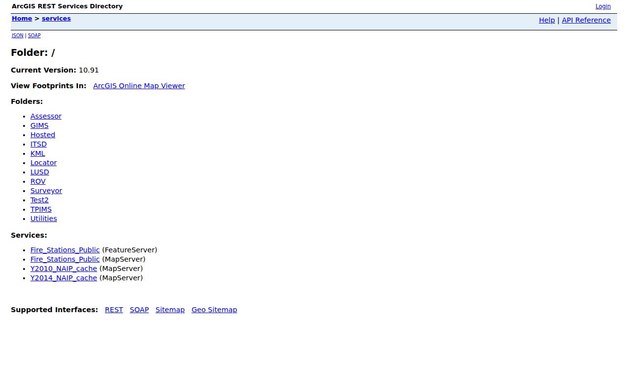
The service-catalog image above is a map-system reference, not a household result. Use it to identify the right public layer before drawing a boundary conclusion.
Adjacent-popup labels and measure, buffer, or export controls were not verified. Use the visible pan, zoom, and parcel-select controls rather than promising a fixed tool.
- APN
- The assessor parcel number, a stable key for linking parcel, map, tax, and property research.
- Situs
- The physical location of the parcel, which can differ from a mailing address.
- Legal description
- The tract, lot, block, section, or other land description that can bridge address changes.
- Adjacent parcel
- A mapped parcel sharing a boundary; adjacency does not prove a shared household or relationship.
Note: Adjacent geometry identifies land parcels, but it cannot identify every person inside those boundaries or establish a shared household.
San Bernardino APNs and Mailing Addresses
ARC distinguishes the situs from the address used for assessment correspondence. The mailing address may be an owner's other home, business, or post-office box. It can suggest that the assessed owner is not the occupant, but it cannot prove who lives at the situs. The assessment owner itself is not a complete household record and is not a judicial determination of legal title.
For a corner lot, match the geometry to the street frontage. For a condominium or multi-unit parcel, the map may identify a common parcel rather than each household. For a flag lot, the visible driveway may not match the parcel's broad boundary. Keep the legal description with the APN when a neighboring parcel has a similar number or mailing line.
A block-level San Bernardino residents search should therefore use language such as "assessment name associated with this parcel" rather than "person who lives next door." The distinction protects accuracy and keeps a map fact from becoming an unsupported personal claim.
What a San Bernardino Tax Record Suggests
The ARC parcel card can connect APN, situs, assessment owner, values, characteristics, and nearby geometry. The county tax system is useful for parcel and bill status, tax-default, and sale material. Those records concern assessment or payment. They do not identify every occupant, other household member, child, roommate, or visitor at an address.
When a tax or assessment name matters, note the record date, address type, and exact field label. A mailing address that differs from the situs may be a clue for an absentee owner or a move. A homestead or exemption field, if shown, can support an owner-occupancy hypothesis but does not conclusively establish it. Do not use a tax bill as a substitute for a recorded title instrument.
San Bernardino Voter Records
My Elections Gateway is a self-service check for the individual voter. It can show registration status, districts, polling place, sample-ballot information, and election logistics after identity validation. It is not a public neighbor search. A voter does not reveal ballot choices through the gateway, and the county currently directs questions about voting history to its office.
A qualified voter-file product may be available for an election, scholarly, journalistic, political, or governmental purpose under Elections Code section 2194. The application must state the purpose, requested geography, intended use, recipients, and delivery details. Home street address, phone, email, prior registration information, identification numbers, and signatures are protected except as the statute permits. Precinct and district fields can appear in personalized results or aggregate exports. Commercial use, advertising, solicitation, and internet display are prohibited.
The Registrar of Voters record-access route explains the controlled-file distinction. Its image below should not be read as permission to publish a block roster.
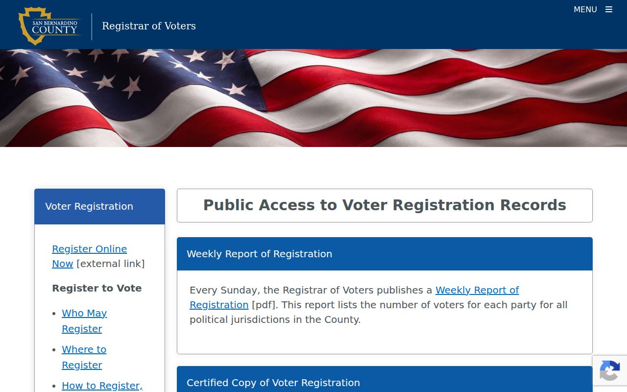
Aggregate weekly registration, precinct, and turnout reports can describe a place without naming households. Safe at Home participants deliberately interrupt a public address trail.
San Bernardino City Records Around the Block
City Development Services and Building & Safety records can be useful for an address when the parcel sits inside the incorporated city. A permit may list an owner, applicant, contractor, architect, scope, valuation, issue or final date, and inspections. Code files can contain a responsible owner, case dates, notices, compliance activity, and liens. These are project or enforcement records, not resident lists.
The live city permit field set and earliest online year were not verified in an accessible official static page. Use the city's current permit route or a focused California Public Records Act request through the City Clerk. Ask for an existing permit card, inspection log, final notice, code case summary, or correspondence by address, APN, project, or permit number. Complaint identities and personal contact details may be withheld.
The San Bernardino City Clerk is the municipal records custodian for city-created books, papers, minutes, contracts, and other records. A postal San Bernardino address may instead fall in nearby unincorporated territory, where County Land Use Services controls land-use records. Confirm the parcel boundary before choosing the department.
Community Sources and San Bernardino Neighborhoods
Community sources can add a human layer to a block, but they must be treated as voluntary and limited. The research did not locate a current official citywide list of neighborhood associations with verified names, boundaries, contacts, joining rules, or public member rosters. The City's planning and civic geography pages can supply public context, but not a household list. Do not invent an association or imply that a private roster is public.
| Community layer | What may be public | What remains unverified or private |
|---|---|---|
| City planning and ward geography | Official boundaries, plans, public contacts | Household membership or personal ties |
| Neighborhood association | Only a name, boundary, officer, meeting, or site affirmatively published | Member roster, home addresses, joining lists |
| Library local history | Directories, newspapers, photographs, oral histories, maps | A complete current block directory |
| Church, club, or block-watch group | Public event or institutional contact when posted | Private participant or congregation list |
For a San Bernardino community lead, record the group's published name, public boundary, public officer or contact, and source date. Treat a newsletter, meeting notice, family album, or oral history as context. It should not be used to infer the current address of a private participant.
Note: A public group contact is not permission to infer a private member's address or publish a membership list.
Rebuild an Older San Bernardino Block
Earlier occupants are more likely to appear in the California Room's directories, criss-cross volumes, telephone books, newspapers, yearbooks, and photographs than in a current public portal. The California Room lists San Bernardino city directories from 1887-1968 and criss-cross directories from 1976 to the present. A reverse volume can put a listed subscriber or householder at a numbered address, but it cannot enumerate everyone in a dwelling.
Pair the address with the closest public census schedule, then check the California Room newspaper and obituary holdings, Great Registers, county probate, deeds, and Sanborn maps. Sanborn maps show building footprint, use, and street context, not the people who lived there. If an old street label does not match a current parcel, compare period maps, directory address forms, legal descriptions, and directional components. Research found no official dated list proving a citywide street renumbering.
San Bernardino is both a city and a county seat. Muscoy and other nearby unincorporated places can share a San Bernardino mailing identity while city permits and county land-use files follow different jurisdictional lines. Establish the parcel and date before calling a historical block a city block.
San Bernardino Neighbor Lookup Limits
A parcel map can show land. It cannot reveal every person inside the land. Other occupants, children, roommates, visitors, utility customers, delivery recipients, and protected residents do not become public neighbors merely because an address is known. DMV residence data is restricted, voter fields are purpose-gated, and Safe at Home provides a substitute address for eligible participants.
Civil Code section 1798.89 addresses truncation of Social Security numbers on post-2009 public recorded documents. A deed's public availability does not turn every identifying field into a public neighbor fact.
Lawful use. San Bernardino neighbor research is appropriate for block history, personal safety awareness, reconnecting, and other lawful personal purposes. Never use a parcel, voter, or directory trail to watch, threaten, stalk, harass, or harm anyone.
California Penal Code section 646.9 addresses stalking, and section 653.2 addresses certain electronic distribution of identifying information intended to cause fear or unwanted contact. Official records are narrower than commercial neighbor tools, but the narrowness is a safeguard. Commercial tools can blend parcel, marketing, phone, and old address data, then attach the wrong name to a parcel. They cannot lawfully bypass a protected record.
| Official parcel or voter source | Commercial neighbor category |
|---|---|
| Parcel geometry and APN from ARC or GIS | May repeat an old parcel name without current source date |
| Recorder party index and ordered document | May summarize a document without legal description or image |
| Qualified voter-file product | May blend marketing or phone data with stale registration claims |
| Library directory and newspaper evidence | May merge a historic occupant with a current address |
Keep the final wording tied to the source: parcel, assessed owner, recorded party, qualified registration field, permit participant, or historical listed occupant. That precision is the most reliable way to know what a San Bernardino neighbors lookup actually found.